About Us
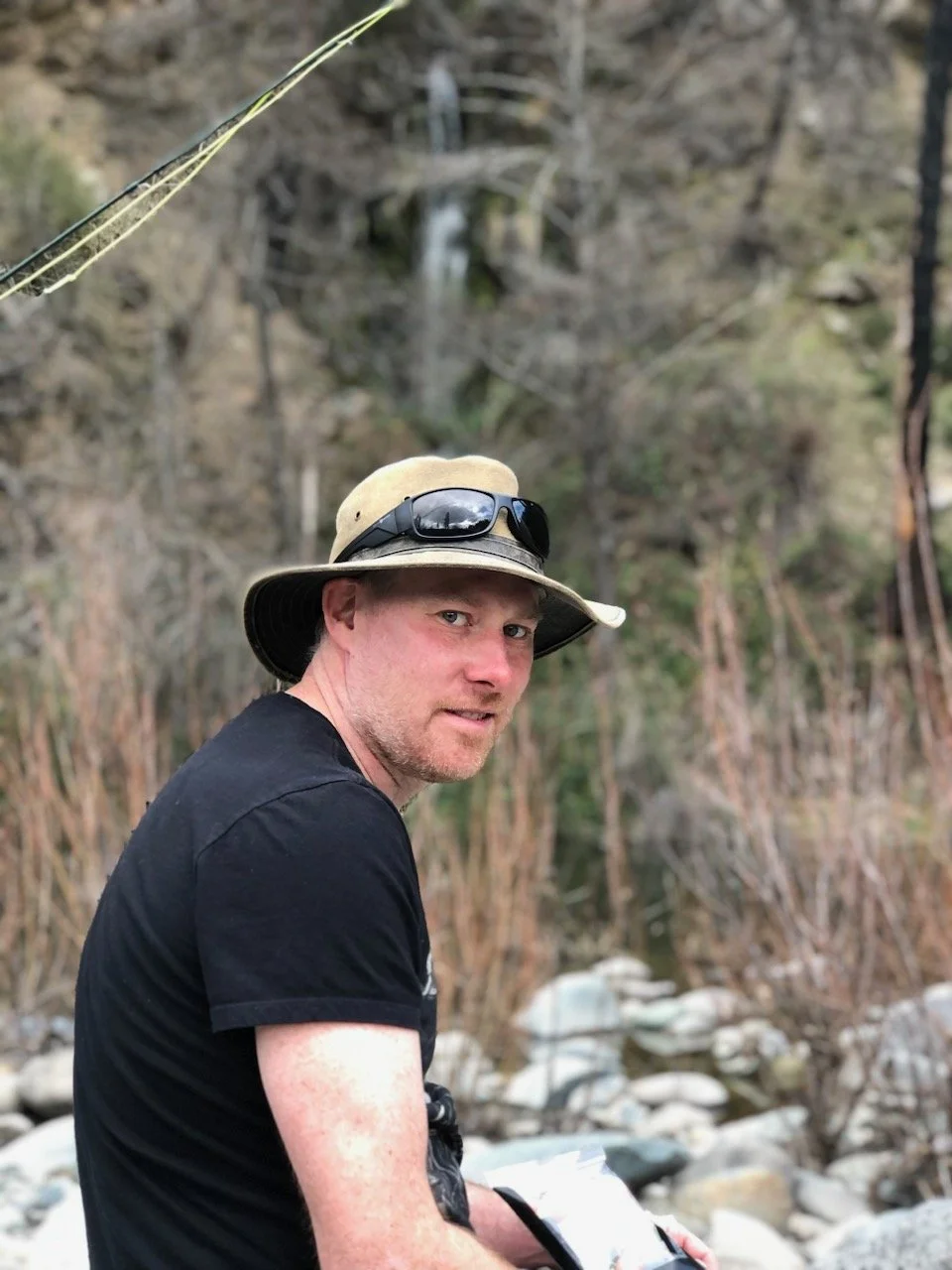
Terence Campbell was born and raised in McCall, Idaho and he grew up living the mountain lifestyle. He got his first surveying job in 1998 running around the Idaho mountains looking for stone mounds set in the late 1800’s. He then spent his first year of college at Montana State in Bozeman but decided it was time for a different experience and moved to downtown Portland where he earned a Bachelor’s Degree in Environmental Science with a Minor in Biology from Portland State University in 2004. After working a few seasons for the US Forest Service, Terence decided that career path wasn’t the one for him and got back into Land Surveying in 2005, and has been working full time as a Land Surveyor ever since. Terence obtained his Oregon license in 2011 and went out on his own that same year. He owned and operated Bandon Surveying on the Southern Oregon Coast until 2018 when he obtained his California Surveying License. He then moved back to the sunny and dry mountain climate of the Shasta Valley and began his journey as a surveyor in the truly spectacular region of the real Northern California.
OUR MOTTO: BE PROFESSIONAL AND DO IT RIGHT THE FIRST TIME
Land Surveying is a professional service that requires extensive knowledge and experience to gain licensure. To become a Licensed Land Surveyor an individual must, on average, have a bachelor’s degree and complete a 4-8 year apprenticeship program and pass 3 difficult state and national exams which have a passing rate of less then 30%.
Additionally, Land Surveying requires the use of highly specialized and highly expensive equipment and software. There is nothing cheap about this industry.
When we get involved in a project we are accepting a huge amount of liability as there is ZERO room for error in this profession. Mistakes can prove catastrophic and often lead to litigation. Because of this, we only have one standard for the way we do business, which is the highest standard. If you want your survey done the correct and most official way the first time give us a call, but if you’re looking for “approximate locations” to avoid the cost of doing the job the official way, we’re probably not the company you want to work with.
An example of a scenario showing our philosophy and standard is as follows:
A potential client calls and needs his property line defined “within a couple feet” or just wants an unofficial “stake” set at a corner position.
Our response:
We don’t do unofficial work so we can’t meet your request, but we are willing to establish your property boundary with official monuments (i.e. pins) and file either a Corner Record or Record of Survey Map with the County Surveyor so it is officially documented that your property line has been defined in the legal and official manner. (At this point you can then tell your neighbor to go down to the county courthouse and get the survey map with your name on it if he or she has a problem with the location of the property line.


